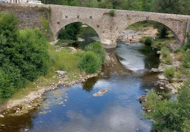
22 km | 31 km-effort
bleymard
joesic
User
Length
45 km
Max alt
1699 m
Uphill gradient
1388 m
Km-Effort
61 km
Min alt
874 m
Downhill gradient
858 m
Boucle
No
Creation date :
2020-06-14 07:11:36.03
Updated on :
2020-06-14 16:16:16.396
8h03
Difficulty : Medium
FREE GPS app for hiking
About
Trail Mountain bike of 45 km to be discovered at Occitania, Lozère, Pont de Montvert - Sud Mont Lozère. This trail is proposed by joesic.
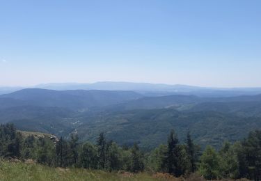
Positioning
Country:
France
Region :
Occitania
Department/Province :
Lozère
Municipality :
Pont de Montvert - Sud Mont Lozère
Location:
Le Pont-de-Montvert
Start:(Dec)
Start:(UTM)
558865 ; 4912582 (31T) N.
Comments
Trails nearby
Montagne du Bougès
Walking
Difficult
Pont de Montvert - Sud Mont Lozère,
Occitania,
Lozère,
France
5h 42min
Yes
Bédoues saint jean du Gard GR70 gr43
Walking
Very difficult
Pont de Montvert - Sud Mont Lozère,
Occitania,
Lozère,
France
86 km | 120 km-effort
26h 6min
No
Stevenson pont de Monvert/ Bedouès
Walking
Difficult
Pont de Montvert - Sud Mont Lozère,
Occitania,
Lozère,
France
26 km | 38 km-effort
7h 29min
No
13-05-2023 E8 Le Pont de Monvers - Bédouès
Walking
Very difficult
Pont de Montvert - Sud Mont Lozère,
Occitania,
Lozère,
France
25 km | 37 km-effort
8h 19min
No
Finiels/ sommet / station du Bleymard en boucle
Walking
Difficult
Pont de Montvert - Sud Mont Lozère,
Occitania,
Lozère,
France
20 km | 30 km-effort
5h 38min
Yes
Signal du Ventalon
Walking
Medium
Pont de Montvert - Sud Mont Lozère,
Occitania,
Lozère,
France
17.8 km | 24 km-effort
4h 13min
Yes
J6 Stevenson: Pont de Monvert - Cassagnas
Walking
Medium
(1)
Pont de Montvert - Sud Mont Lozère,
Occitania,
Lozère,
France
19.7 km | 29 km-effort
5h 58min
No
Etape 7 Pont Montvert/Florac
Walking
Very difficult
Pont de Montvert - Sud Mont Lozère,
Occitania,
Lozère,
France
30 km | 42 km-effort
7h 56min
No
Bédouès
Walking
Very difficult
Pont de Montvert - Sud Mont Lozère,
Occitania,
Lozère,
France
24 km | 36 km-effort
7h 51min
No